
To download at full resolution (46.2MB) click here.
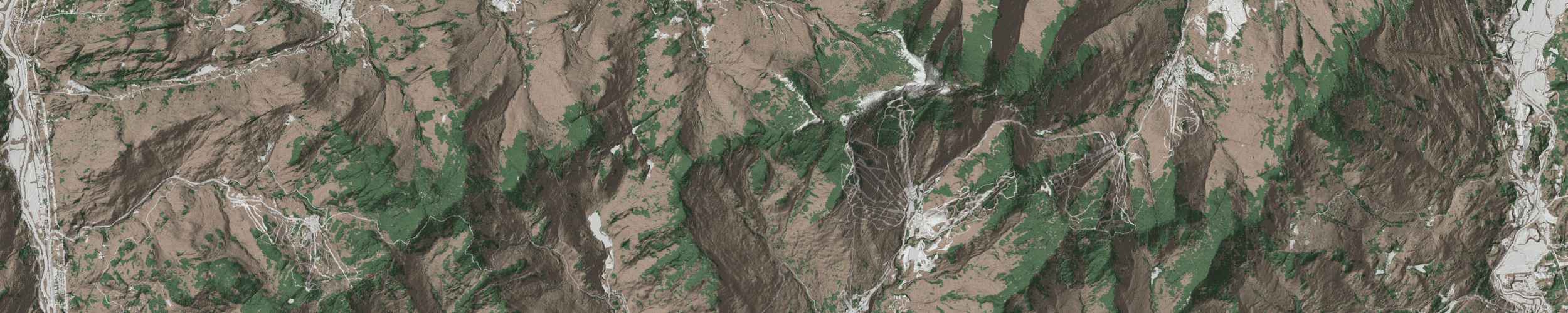
This map shows Bolton lit up by the spring sun. Late in the season, Bolton shines when its west-facing slopes catch the late afternoon sun and you can finish your day skiing into the sunset with Lake Champlain and the Adirondacks laid out before you.
If there's enough interest I'll print a run of maps. Send me your email to let me know that you're interested and to be notified when print maps become available.
These maps were derived from public data provided by the Vermont Center for Geograhic Information.
I used 0.7-meter resolution DEM data to generate hillshade, 0.7-meter resolution DSM data to give the map some of the texture of the trees, and 0.5-meter resolution tree canopy classification to color the landscape for coniferous or deciduous. The state's E-911 data was used for roads and trails.
All styling done in QGIS on my underpowered laptop.